今回は「地図」に関する体験を2回に分けて行います。
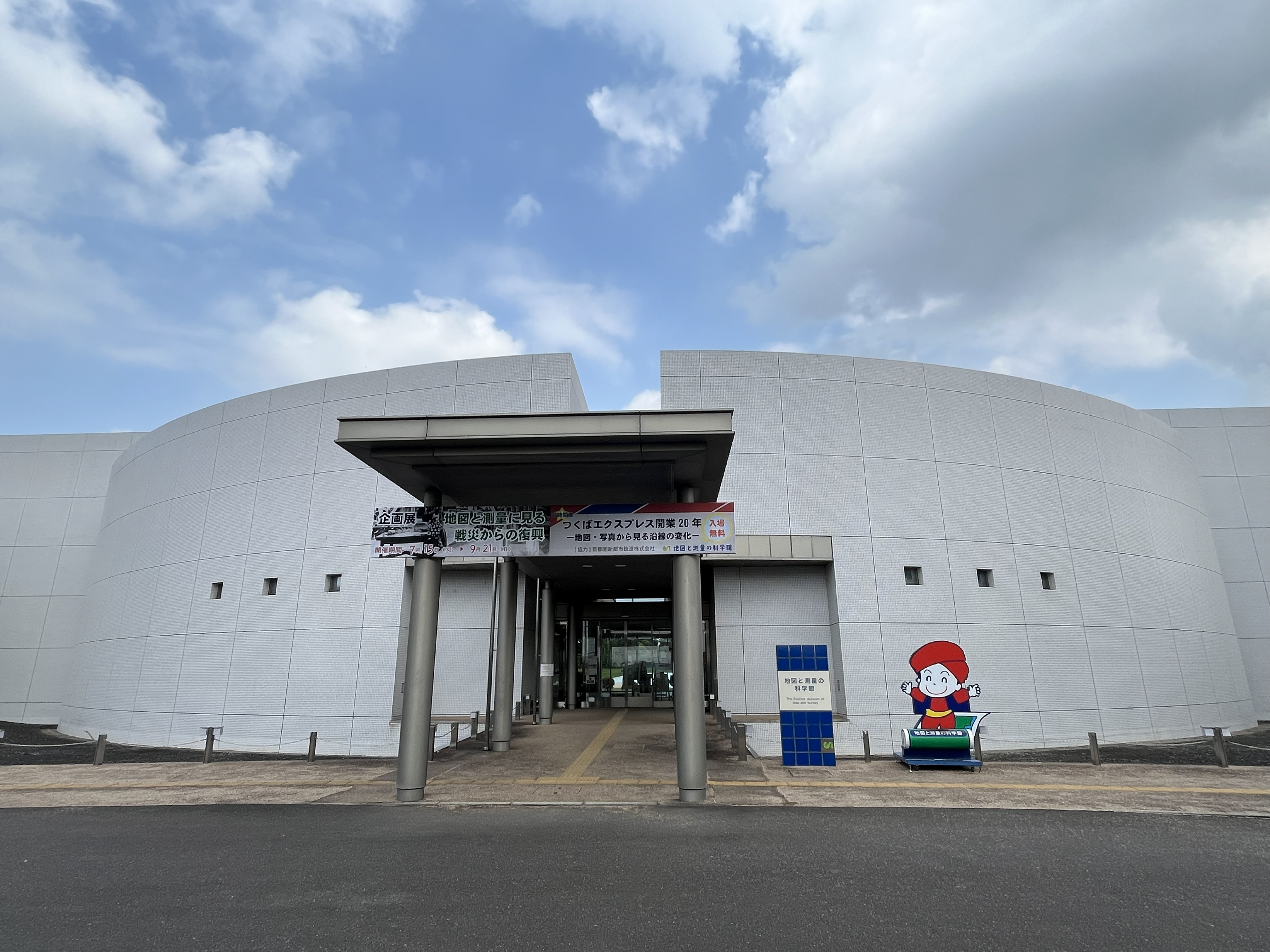
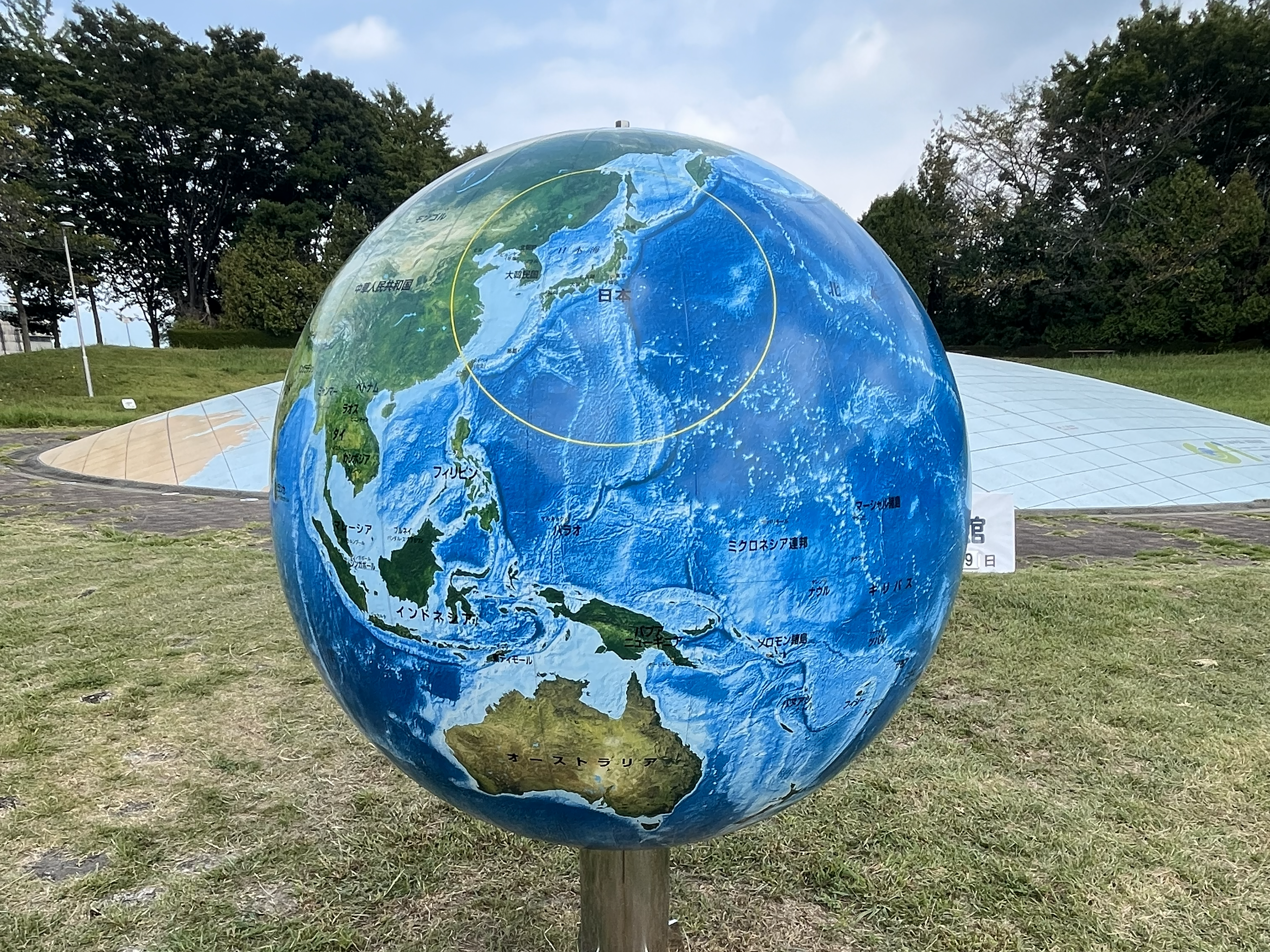
6月13日は、日本の唯一の公式地図を作っている国土地理院の展示館である「地図と測量の科学館」を見学し、地図の歴史やどうやって地図を作るために必要な測量の技術を学びます。
6月14日は、実際に地図を作ってみます。
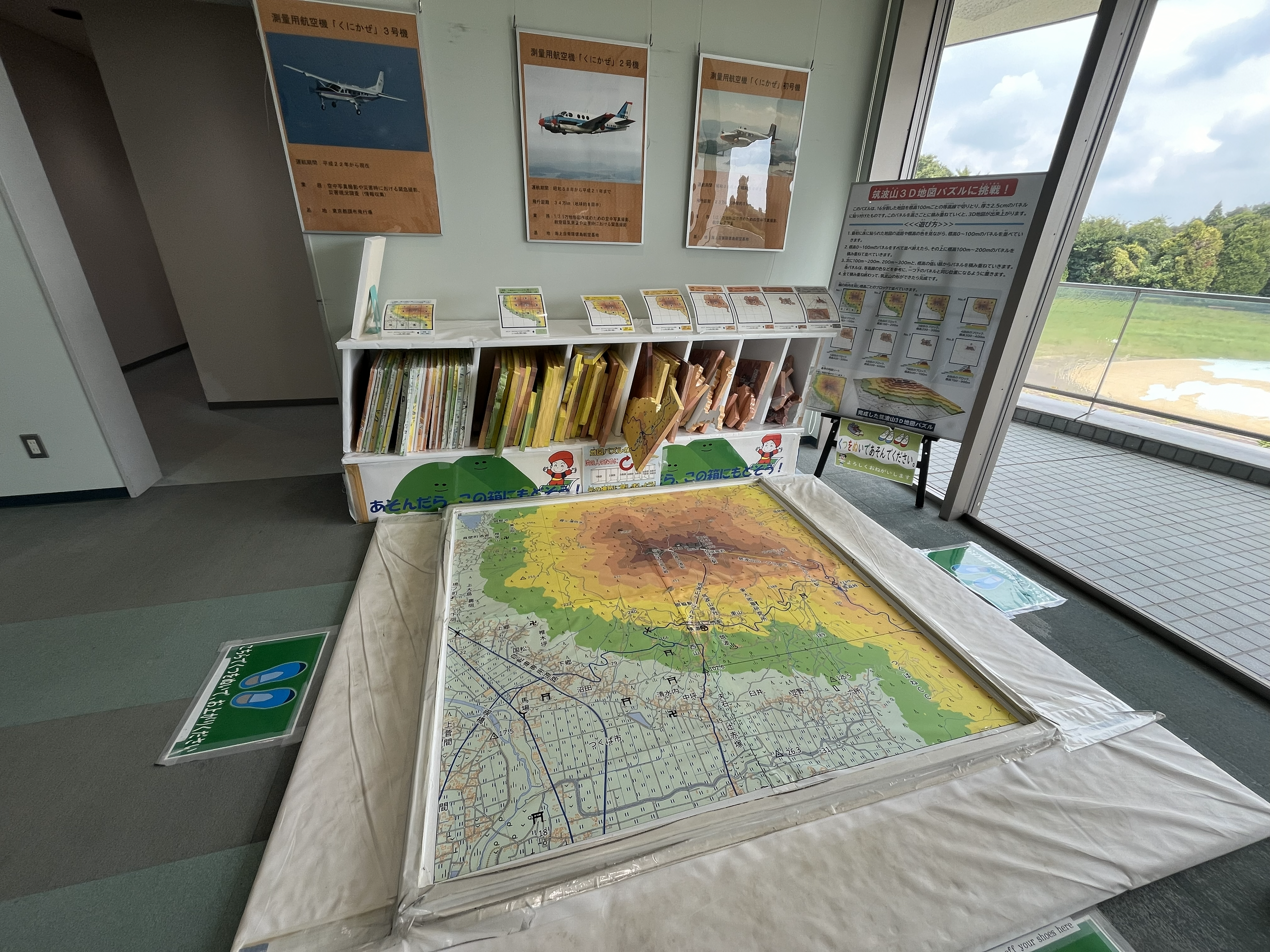
博物館などに展示してある立体模型はどうやってつくっているのでしょう?平面の地図をもとに立体地図を作ってみます。
———-
This time, we will have a two-part experience related to maps.
On June 13th, we will visit “The Science Museum of Map and Survey”, an exhibition hall of the “Geographical Survey Institute (GSI)”, the only official maker of maps in Japan, and learn about the history of maps and the surveying techniques needed to make them.
On June 14th, we will actually try making a map.
How are the 3D models on display in museums and other places made? We will try making a 3D map based on a 2D map.
———-